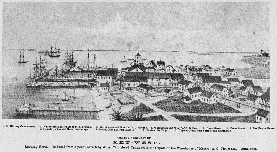
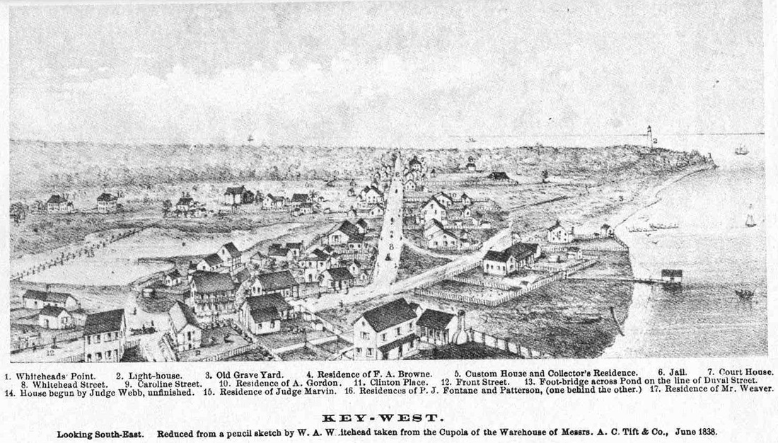
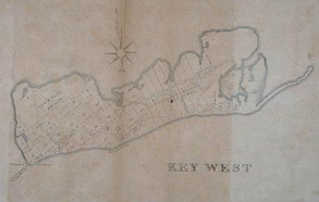
Key West 1838
drawn by William A. Whitehead from the cupola of Asa Tift's warehouse.
Note: These drawings are 10 years after the timeline of Salvaged Love but within the timeline of Love Again.
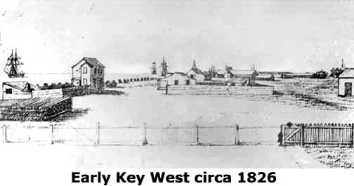
The drawing from 1826 is two years prior to Salvaged Love. It gives some idea of the island's rapid development.
Note: These drawings are 10 years after the timeline of Salvaged Love but within the timeline of Love Again.
The drawing from 1826 is two years prior to Salvaged Love. It gives some idea of the island's rapid development.
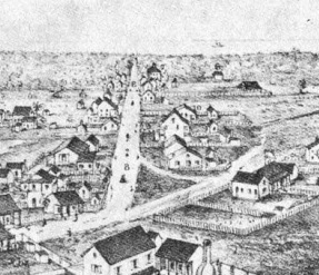
Is it still the same?
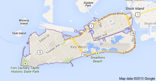
I was showing my brother the map drawn by William Whitehead with the streets he had planned for the city. He asked me if they still existed today. Much of Old Town is still intact thanks to the efforts of earlier citizens. Take a look at Clinton Place (triangle area in center of both pictures), Whitehead Street and Front Street from 1838 and 2011.
|
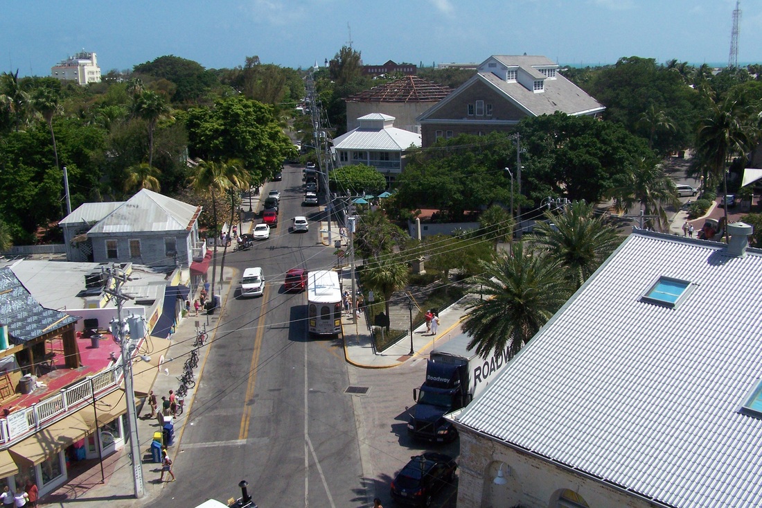
Photo credit: Jack Morse 2011
|
Key West - Then and Now
|
|
Dredging has expanded the island since the 1829 drawing. This can most easily be seen with the land added around Fort Taylor at the bottom left corner but a discerning eye will notice other areas as well. I tried to trace the maps to show the differences, but alas, an artist I am not.
